What is gorse?
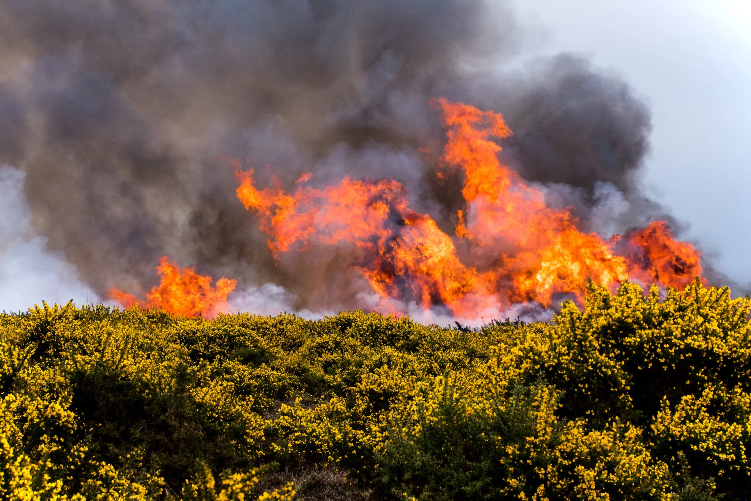
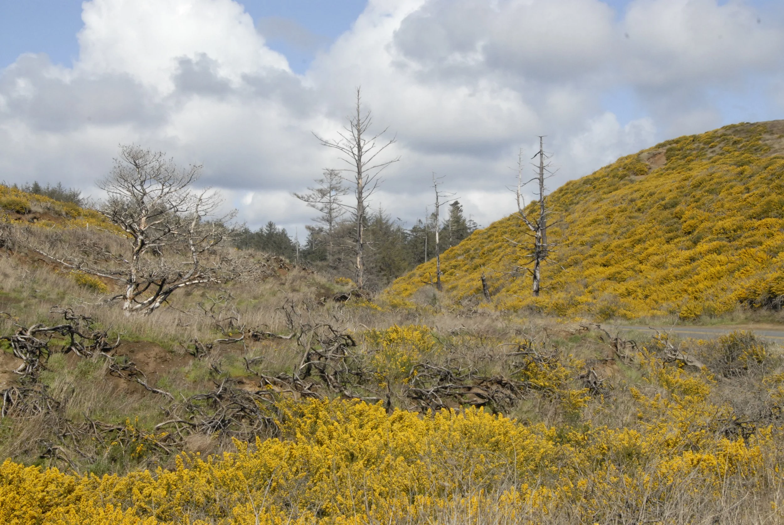
Gorse (Ulex europeaus) is an Oregon State Class B Noxious weed found in abundance along the west coast. Gorse was intentionally introduced into the southern Oregon coast in the late 1800s and is now rated as one of the top 100 worst invasive species worldwide (World Conservation Union), and the #1 most invasive species on the south coast of Oregon (Oregon State Parks). The presence of gorse has negatively impacted the regional economy and, due to its flammable nature, has created a serious public safety concern. In 1936, gorse played a key role in the complete burning of the town of Bandon, OR (Oregon Historical Society, view article here).
The spread of gorse in Oregon affects us all, from fire safety to loss of native vegetation that plays a crucial role for local resources.
Definitions
-
A plant that is both non-native and able to establish on many sites, grow quickly, and spread to the point of disrupting plant communities or ecosystems.
-
A plant that is a part of the balance of nature that has developed over hundreds or thousands of years in a particular region or ecosystem.
-
A plant introduced with human help (intentionally or accidentally) to a new place or new type of habitat where it was not previously found.
-
Any plant or plant product that can directly or indirectly injure or cause damage to crops (including nursery stock or plant products), livestock, poultry or other interests of agriculture, irrigation, navigation, the natural resources of the United States, the public health, or the environment.
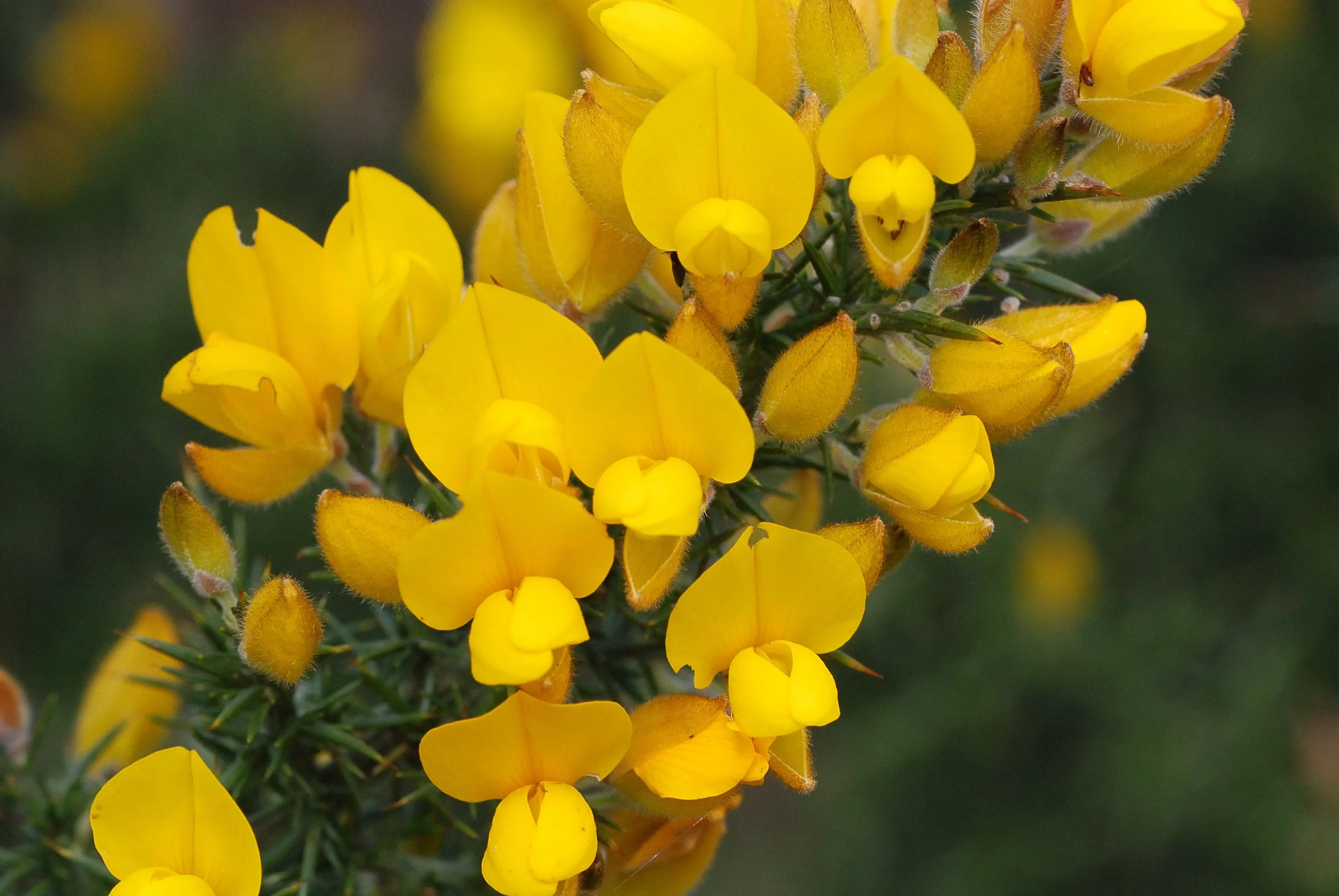
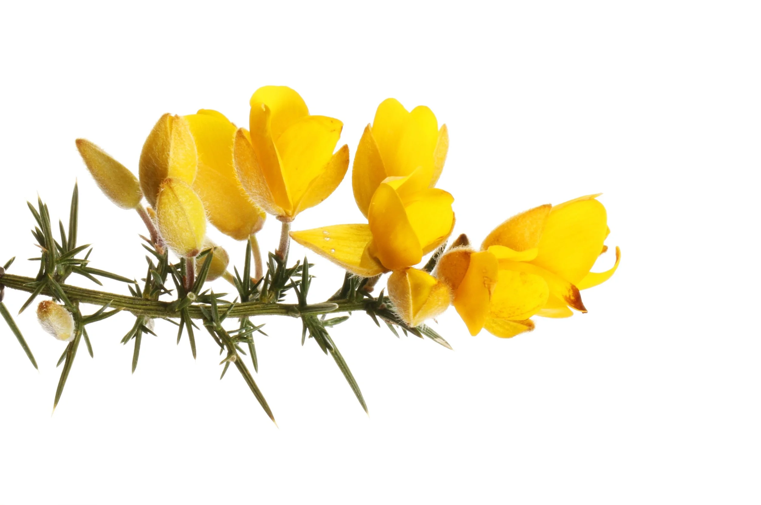
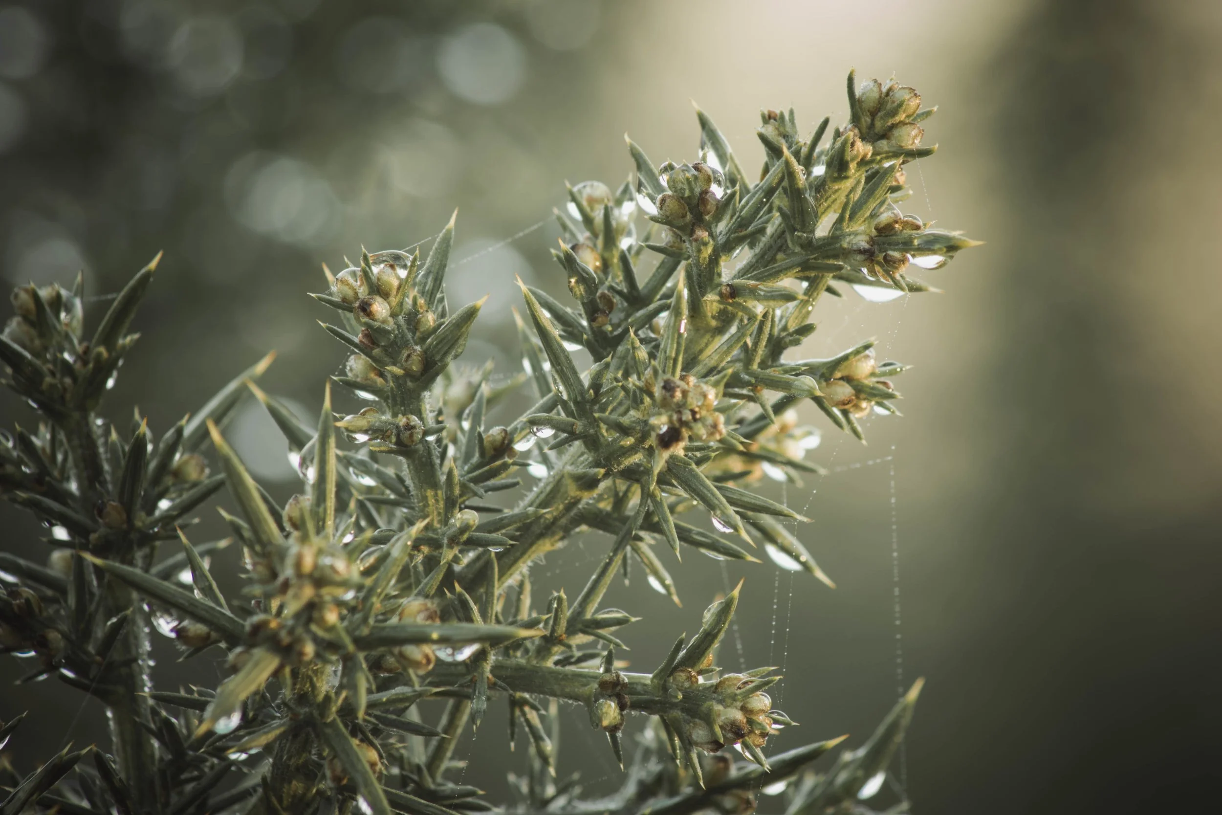
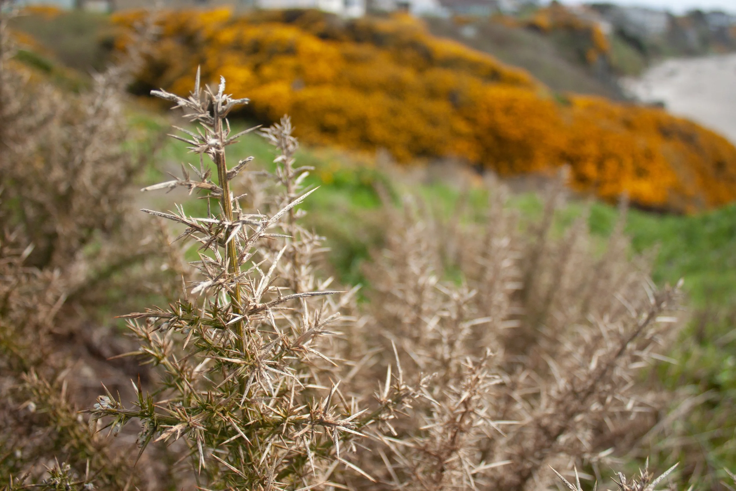
Gorse up close
Gorse without flowers
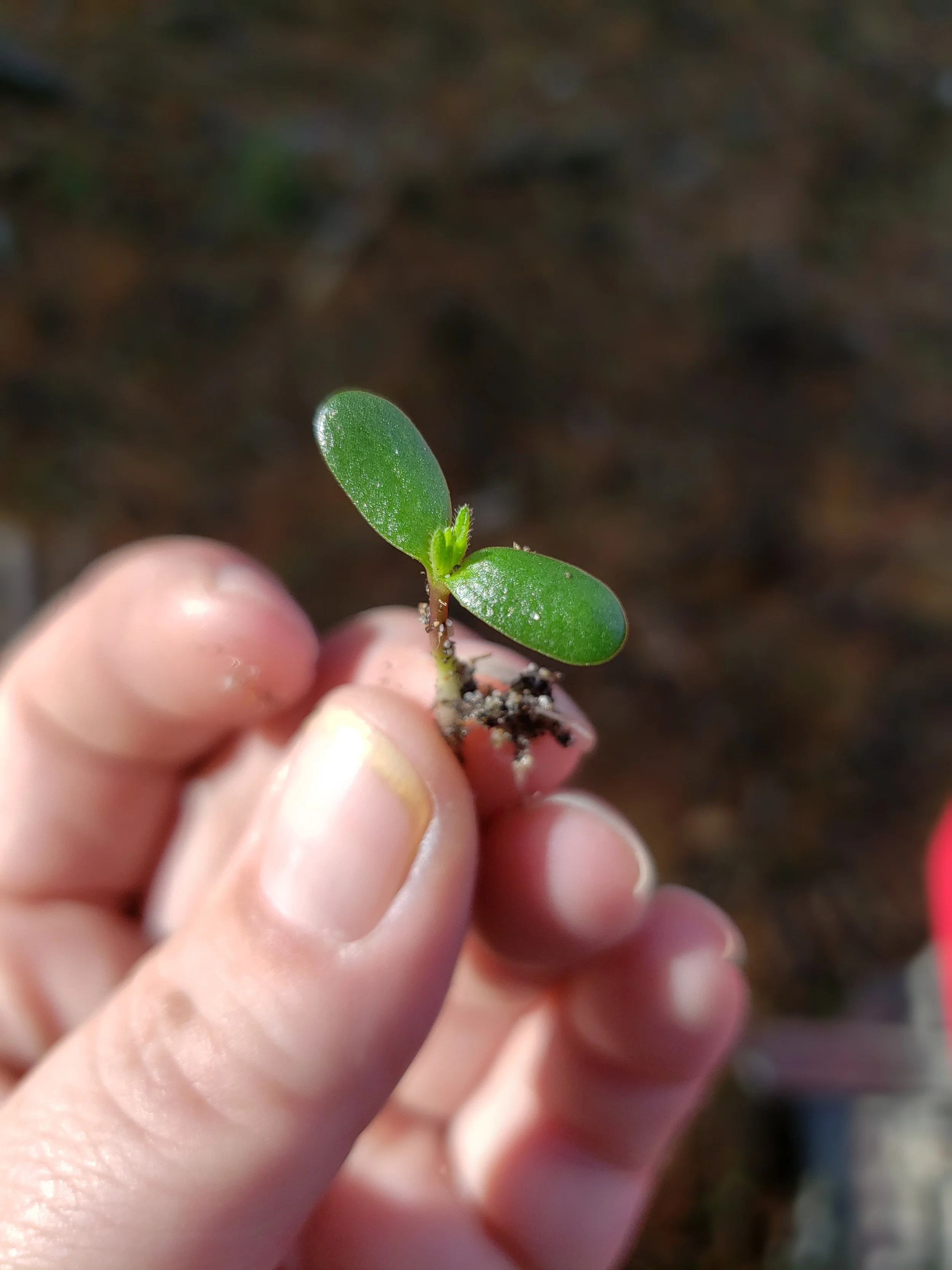
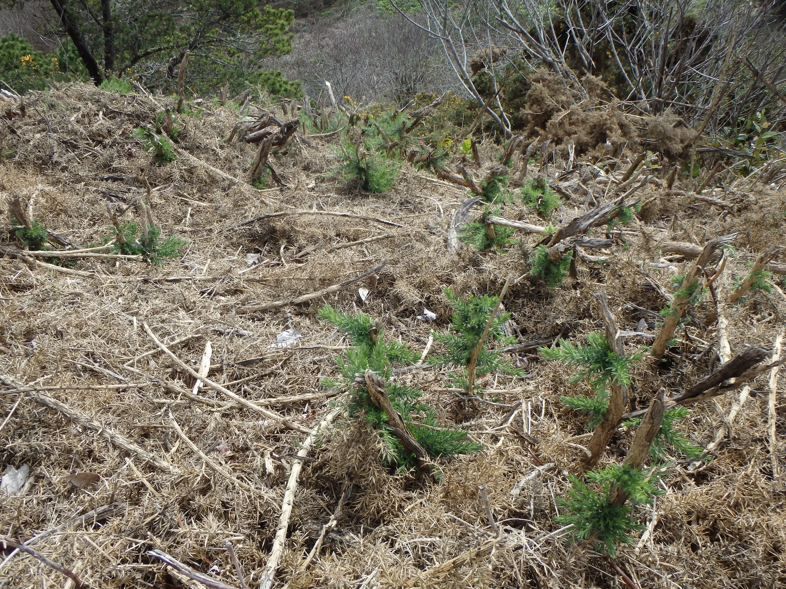
Gorse sprout - top
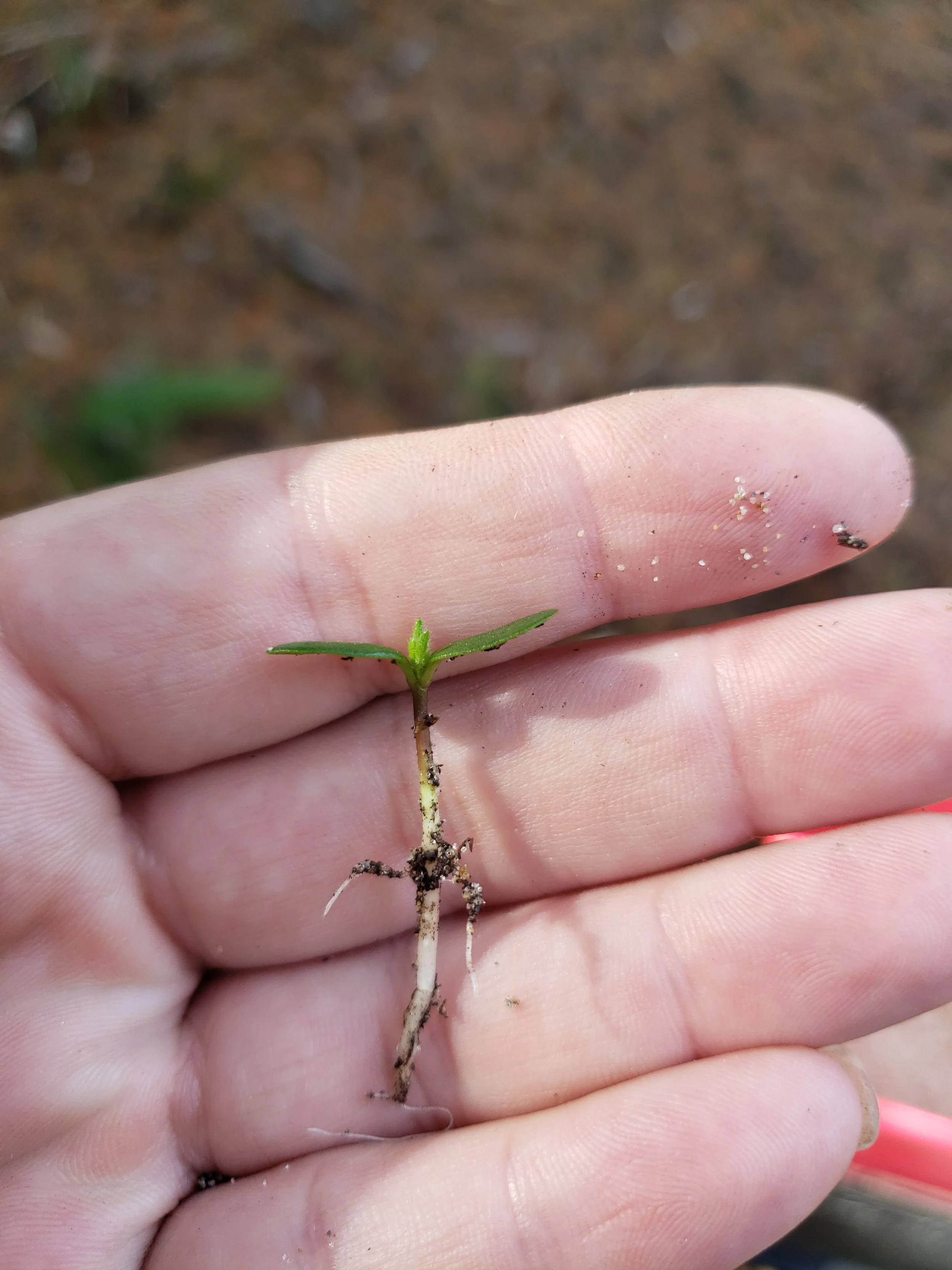
Gorse sprout - side
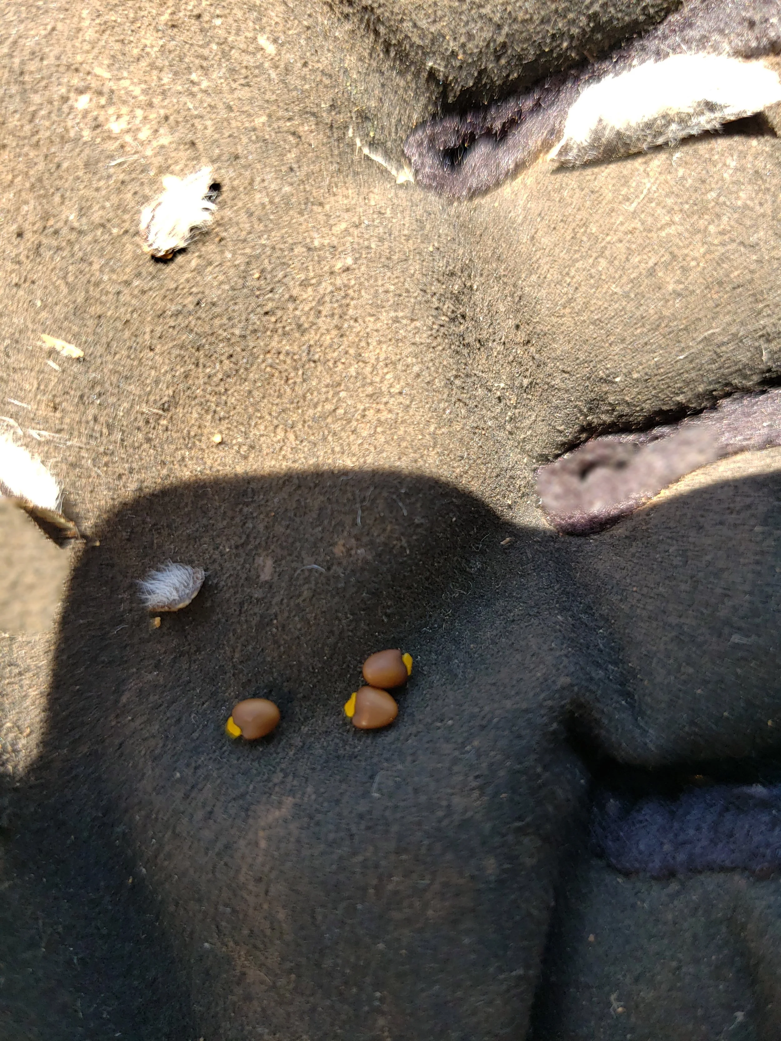
Gorse seeds
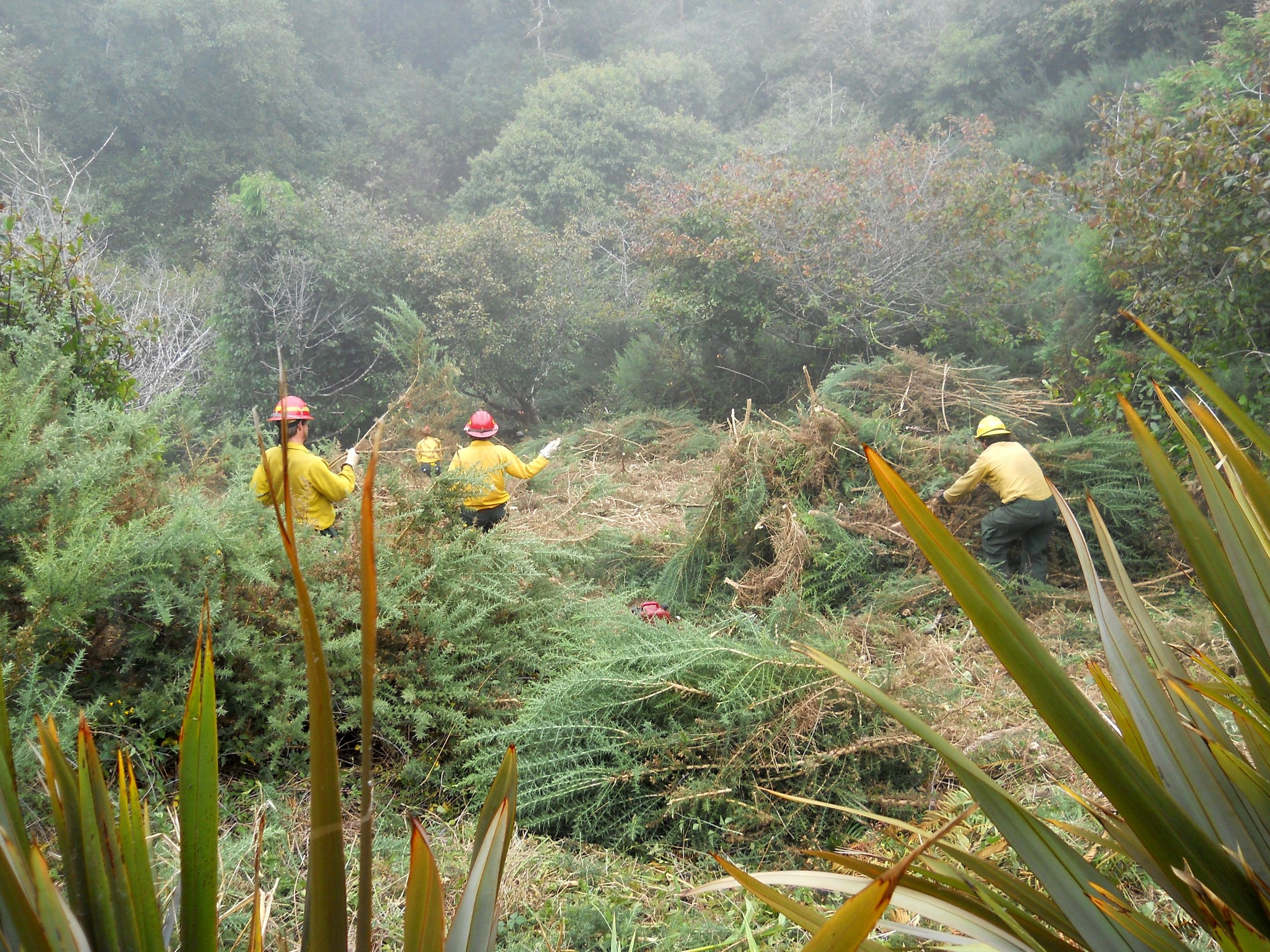
CFPA crew at Harris Beach cutting and piling
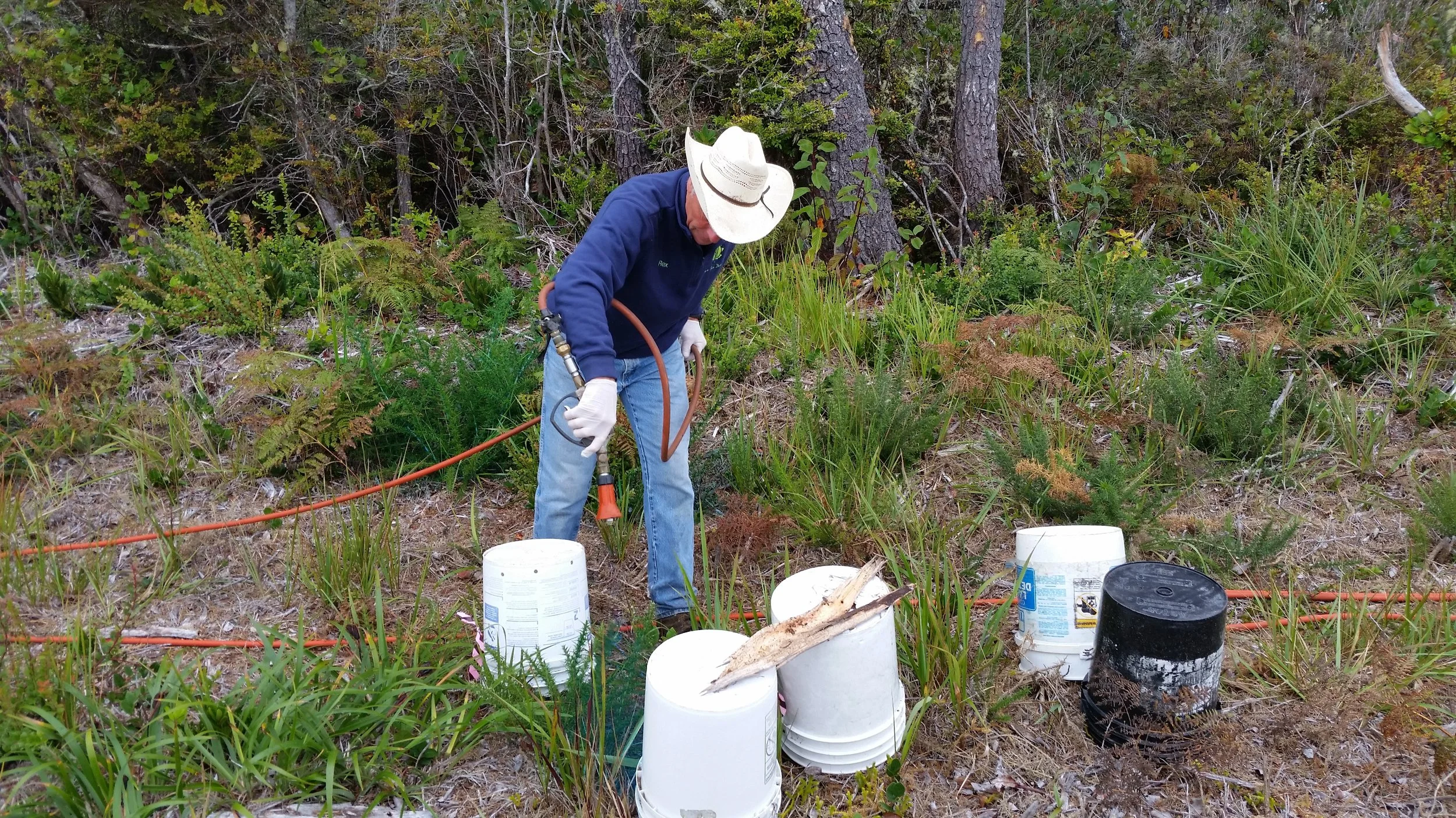
Gorse spraying around rare plants
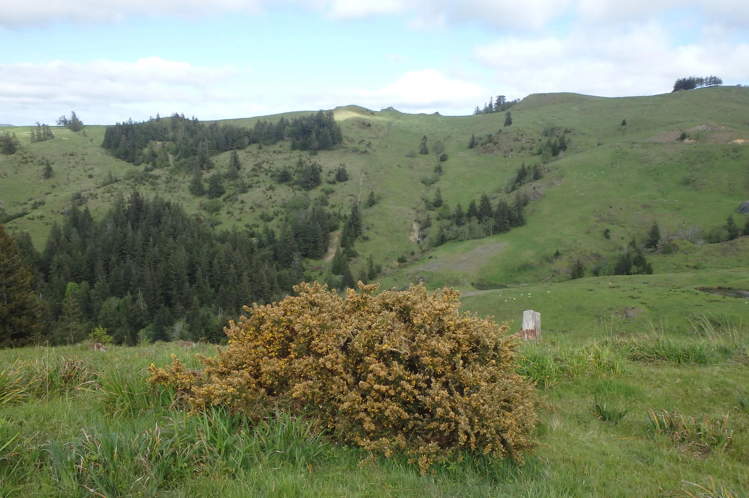
Mature gorse
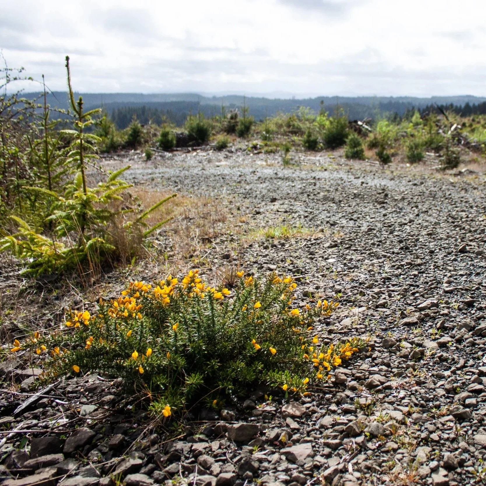
Gorse outlier - before
Gorse outlier - after
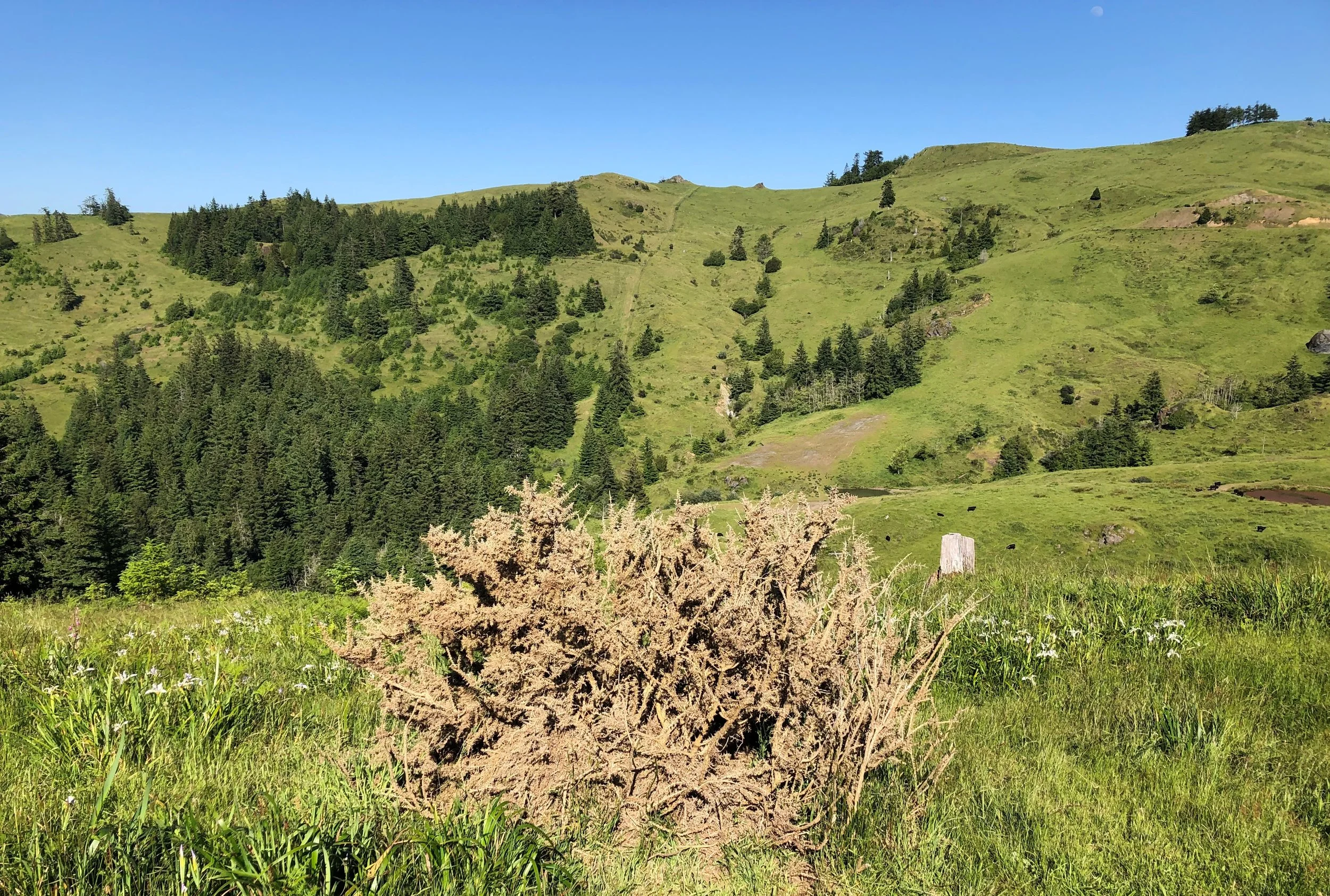
Dead gorse sea cliff
Gorse resprouts
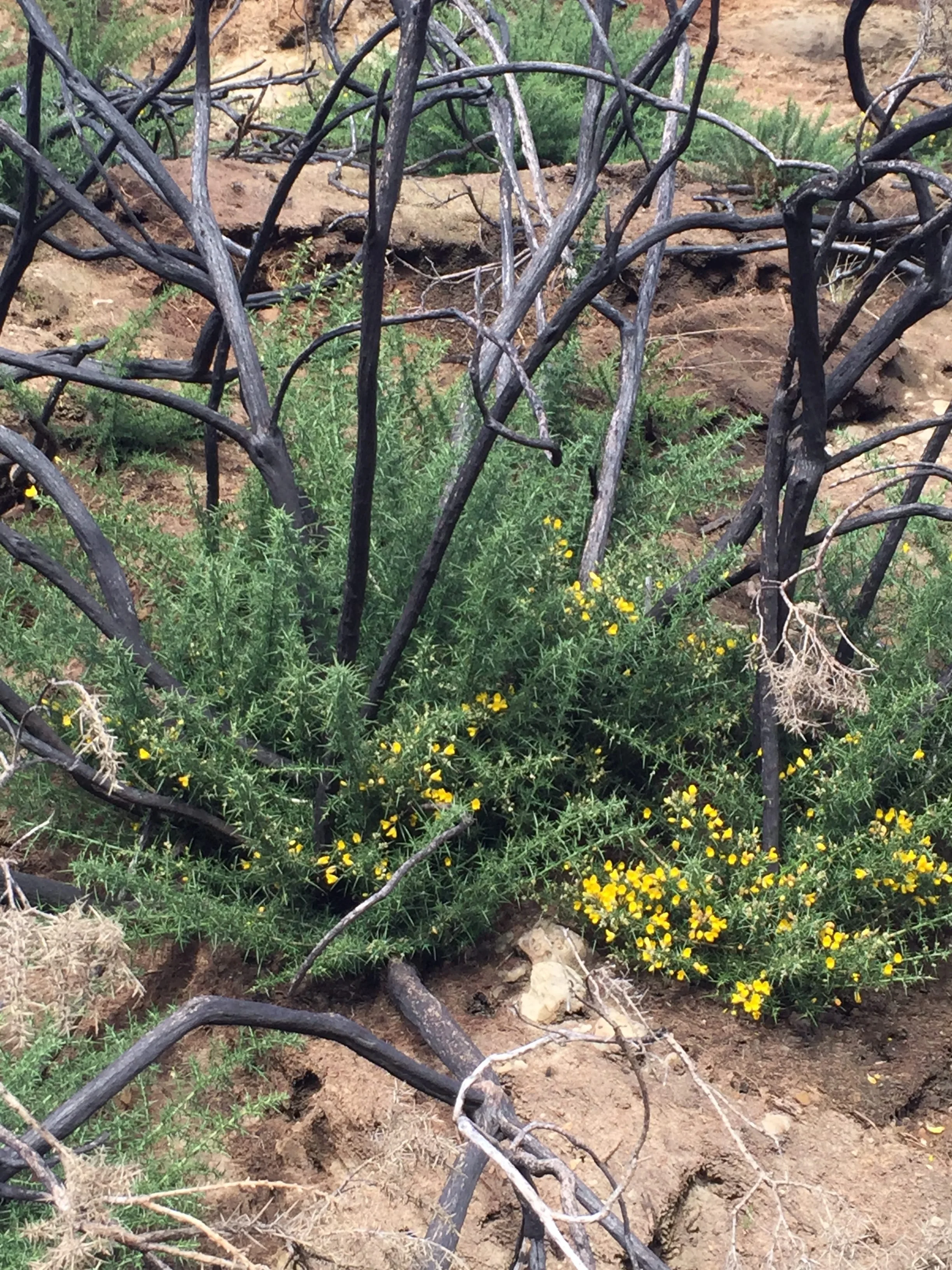
Gorse after fire at Bandon Dunes in 2016
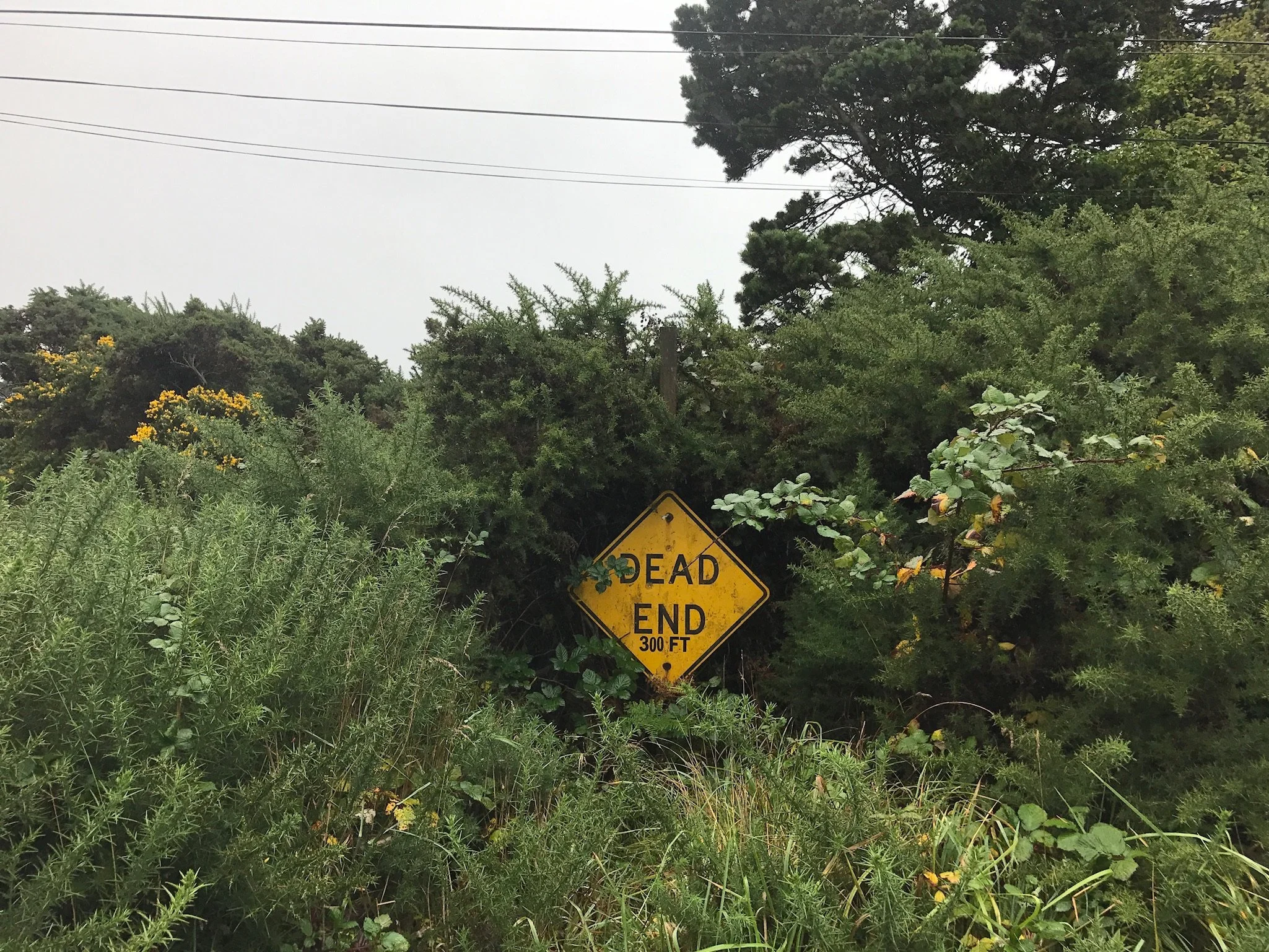
"Donut Hole" dead end

Gorse with snow (by Maria Lorange)
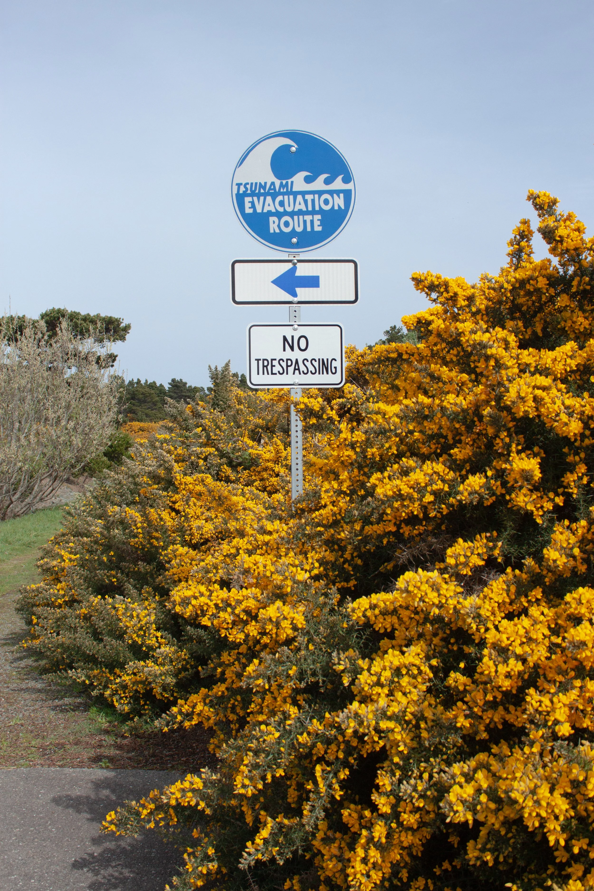
Evacuation route
Gorse Literature
Find out more about the ecology and spread of gorse through browsing the materials below.
Gorse Distribution
Where's the big map of yellow? Mapping and modeling a fast growing noxious weed infestation over a couple of million acres is not easy. These efforts have varied across space, time, and jurisdiction. As technology advances so does our ability to share data. Please reach out to us if you are interested in learning more about gorse distribution mapping or modeling.
Mapping
ODF Sketchmapper 2014, Wyatt Williams
State Regulated List
Map of states in which gorse is included on their regulated list.
EDDMapS Distribution
This map is incomplete and represents gorse data submitted by local users.
CABI, Invasive Species Compendium
In 2014, Gorse Action Group partners procured 1-foot resolution imagery during peak bloom. The imagery, along with ground-truthed data, led to a classification analysis and modeling effort aimed at accurately predicting gorse presence. Below are the results from those efforts.
Gorse modeling is an ongoing effort. We continue to experiment with and work towards developing useful modeling tools that will support control and management of gorse.